Advertisement
Advertisement
Read Next

Photo Of The Day By Robert Henderson
Today’s Photo of the Day is...
Photo Of The Day By Garry Everett
Today’s Photo of the Day is...
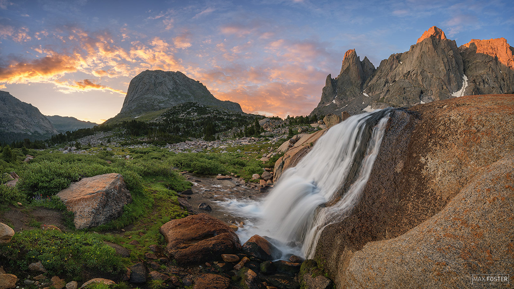
Photo Of The Day By Max Foster
Today’s Photo of the Day is “The...
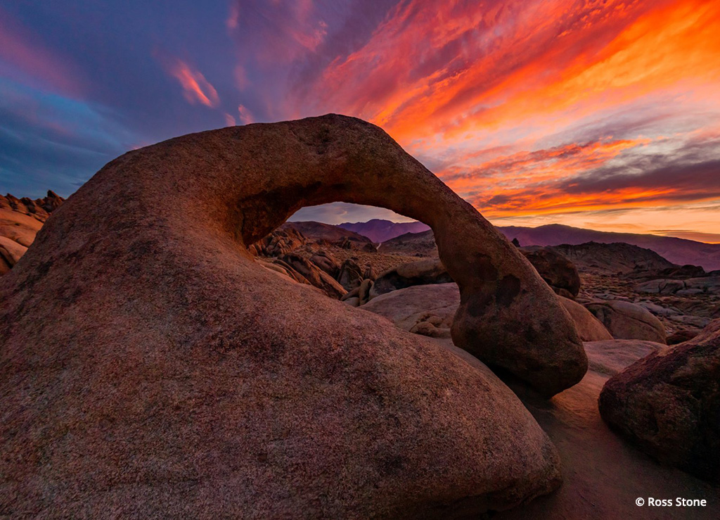
Photo Of The Day By Ross Stone
Today’s Photo of the Day is “Mobius...Advertisement


Getting There And Back Again
As often happens when you’re hiking or traveling in new territory, you arrive at a location that’s ideal for photography. Unfortunately, the light isn’t right; it’s heavily overcast, making the scene look flat and unimpressive. Or it’s noon and the overhead sun is doing little to reveal the rich color and textures of a scene. You decide to return to this spot, but how do you make sure that you return to the same place?
GPS receivers provide a high-tech advantage for scouting. You’re not only able to lock in the exact location, but the receiver can help guide you there, whether you’re in a car or on foot.
The Global Positioning System (GPS) was created by the United States military for precise navigation using a series of orbiting satellites. These satellites (24 active and three reserve units) travel at speeds of up to 7,000 miles per hour, 12,000 miles above the Earth’s surface. They provide data that allows users to pinpoint their position to within three meters using a hand-held GPS receiver. Longitude, latitude and altitude information of practically any location in the world can be input or recorded, allowing you to travel with confidence and security.
For photographers traveling in the great outdoors, a GPS device can be a useful tool. Input your starting point and your destination by keying in waypoints (coordinates of a specific location that you recorded earlier) and the GPS receiver keeps track of your current location, rate of speed and estimated arrival time.
Imagine that you’re hiking to reach a location before sunset. After you’ve taken your photographs, you suddenly realize that darkness has eliminated the view of landmarks you had noted while walking. Not to worry—set properly, the GPS device recorded waypoints as you hiked. Simply refer to the GPS screen to determine whether you’re headed in the right direction on the trail on your return. This is one of GPS’s many benefits.
GPS technology also can be useful for planning ahead for a photograph. By using maps and almanac data on sunrises and sunsets or even a moonrise, you can use your GPS receiver to pinpoint an exact location. Rather than being subject to happenstance, you can use navigational tools to increase the chances that you’ll be at the right location at the right time.
You’ll find a wide variety of GPS receivers available today, and many of them provide a wealth of features, including color displays, a barometer, a compass and detailed maps. Basic GPS units typically offer a gray screen with enough memory to save hundreds of waypoints, as well as the ability to track your progress during your travels.
Resources
Determining the location of your light source is often half the battle in outdoor photography. There are plenty of resources such as almanacs, software and websites that you can use to calculate the rising and setting of the sun and moon, and their exact positions at any given time in between. With GPS technology, you can combine this knowledge with accurate geographical data to place you exactly where you need to be for that perfect shot of the sunset or the moon rising above the cliffs. Many GPS receivers have a built-in feature that displays the times the moon and sun rise and set for any location you designate.
Along with a GPS receiver from industry leaders such as Garmin (www.garmin.com) and Magellan (www.magellangps.com), you also can use your handheld organizer to determine the location of the sun and moon to improve your photography. Planetarium is a program that you can download to your Palm to have access to a whole range of astronomical data, such as the position of the sun, moon, planets and stars for any time and place. For details about this application, visit www.aho.ch/pilotplanets/.
A great online resource is the U.S. Naval Observatory Astronomical Data Webpage, http://aa.usno.navy.mil/data/. Here, you can obtain worldwide sunrise/sunset and moonrise/moonset times, along with information on the moon’s phase by specifying the date and location. Starry Night (www.starrynight.com) is software that also offers a variety of useful astronomy information. In every issue of Outdoor Photographer as well as on the OP Website (www.outdoorphotographer.com), you’ll find an almanac that provides a general idea of when the sun and moon will rise and set.
Mid- to high-priced models can include editorial features such as basemaps, external antenna compatibility for improved reception and a color display. For more accuracy, some GPS receivers include Differential GPS or WAAS (Wide Area Augmentation System) technology, both of which compensate for variations in radio signals due to atmospheric interface or obstructions such as mountains or buildings.
Units that allow the ability to download regional maps via your computer also are available. Connect the receiver to your computer and download detailed maps of the area you intend to visit. The number of detailed maps that can be saved on your receiver is only limited by the amount of internal memory. Units with greater storage capacity or expandable memory are available, but at a higher price point.
When it comes to traveling and photographing the outdoors, a GPS receiver can be a key tool to share space in your camera bag.